Universitas Tanjungpura Students Update Village Administrative Map Through GeoDesa Program
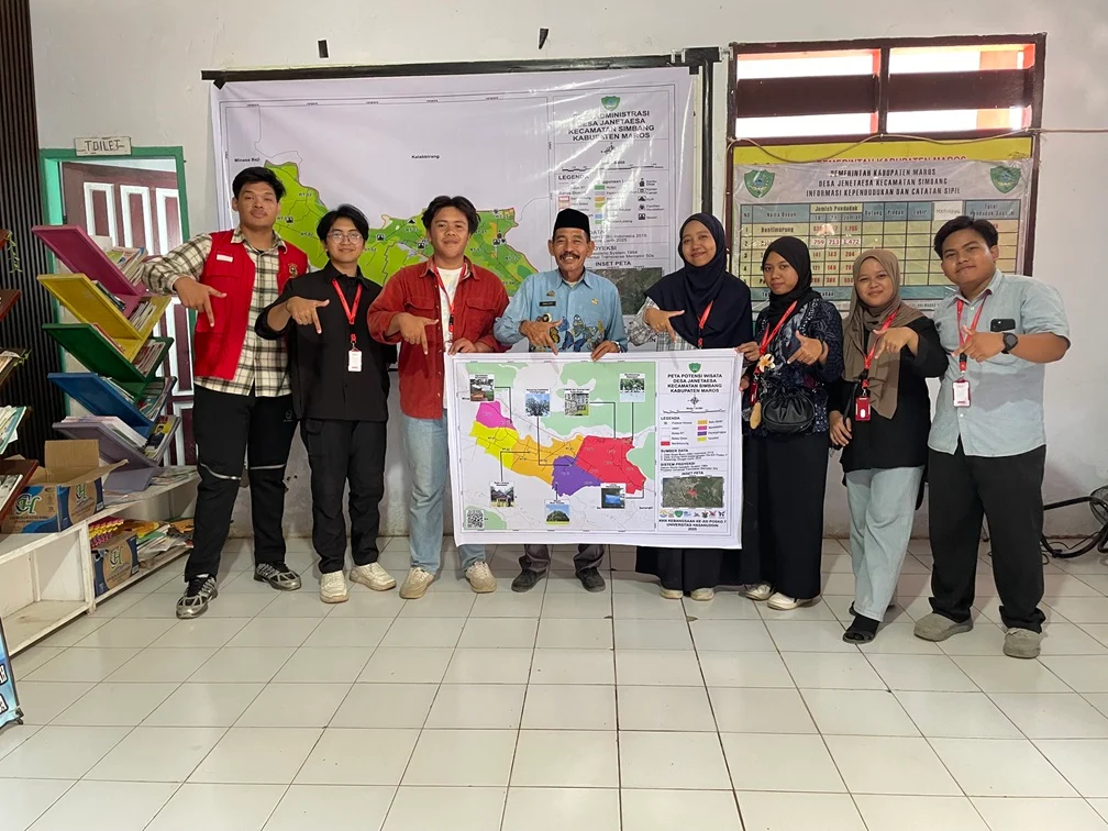
Students from Universitas Tanjungpura’s Community Service Program (KKN) completed an administrative mapping project in Jenetaesa Village, Simbang District, Maros Regency, South Sulawesi on Thursday (July 24, 2025). The GeoDesa Jenetaesa program successfully updated the village’s administrative boundaries and added a previously unmapped hamlet to official records.
Key Details
The mapping initiative, which began on July 14, resulted in a comprehensive update to Jenetaesa Village’s administrative map. The new map was officially installed at the village office on July 24, 2025, and will serve as the primary reference for local government planning, territorial management, and public services.
Students conducted field surveys, verified administrative boundaries, and coordinated with village officials to ensure accuracy. The updated map includes one new hamlet that was absent from previous cartographic records, providing a more complete representation of the village’s current administrative structure.
Quotes & Reactions
“We strive to present a more complete and accurate map according to current conditions. The update process was carried out through field surveys, verification of administrative boundaries, and coordination with village officials,” said Ardiansyah, the student program coordinator.
Jenetaesa Village Head Abdul Latif welcomed the results. “We are very grateful for the students’ support. This map is very important for us in developing development programs and managing village potential,” he stated.
Background & Context
The GeoDesa program represents part of Indonesia’s broader village digitization and mapping initiatives aimed at improving rural governance and development planning. Accurate administrative maps serve as foundational tools for effective resource allocation and infrastructure development in remote areas.
University community service programs like KKN provide practical learning opportunities for students while addressing real community needs. The Ministry of Villages and Rural Development has emphasized the importance of updated spatial data for rural development programs.
What’s Next
With the new map in place, the village government now possesses more accurate spatial data to support targeted, transparent, and inclusive development initiatives. The updated administrative boundaries will facilitate improved planning for infrastructure projects and public service delivery throughout the expanded territorial coverage.


